
Interactive 3D models of Earth, the Moon, the planets and the largest moons of Jupiter, Uranus and Neptune, built from real spacecraft data. Each one is a globe you can spin and zoom, with its named places labelled. The rocky worlds add a flat map mode and the landing sites and orbits of the missions that explored them. They run in the browser on phones and computers, with nothing to install.
3D Earth, Moon and planet maps
-
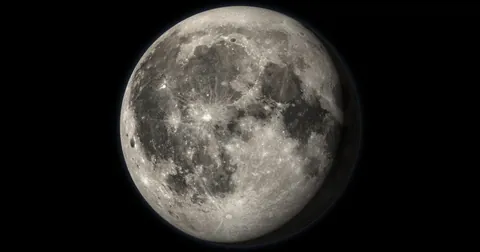
Visit every Moon landing, follow the Apollo rover tracks and see what to observe tonight.
-
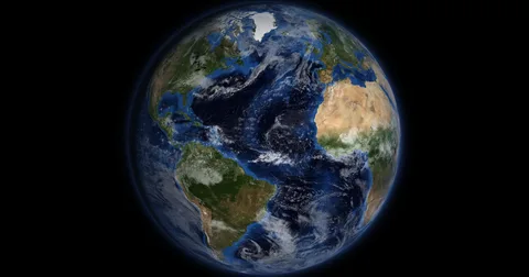
Watch day and night move across Earth live, see the city lights and drain the oceans to reveal the sea floor.
-
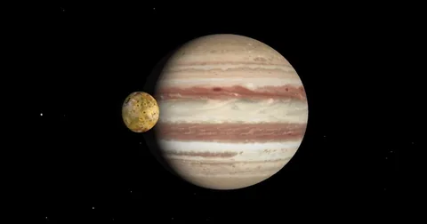
See Io, Europa, Ganymede and Callisto where they are tonight, with their shadows on the clouds and every cloud band.
-
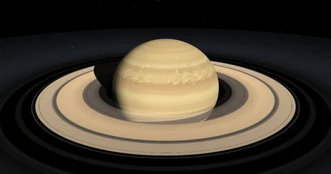
Click every ring and gap from Cassini data and see how tilted the rings look from Earth on any date.
-
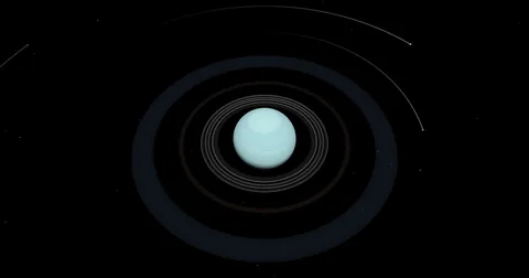
See the 13 dark rings and the five big moons of the planet that rolls around the Sun on its side.
-
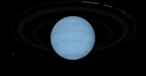
Watch Triton orbit backwards, follow Nereid on its stretched orbit and find the bright arcs in the Adams ring.
-
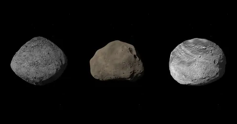
Spin Bennu, Apophis and Vesta from their real shape models, find the OSIRIS-REx sample site and stand them next to the Empire State Building.
-
Spin Halley, 67P and Tempel 1 from their real shape models, then zoom out to see the coma, ion tail and dust tail.
-
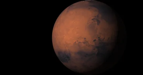
Find every landing site from Viking to Perseverance and follow the rover routes.
-
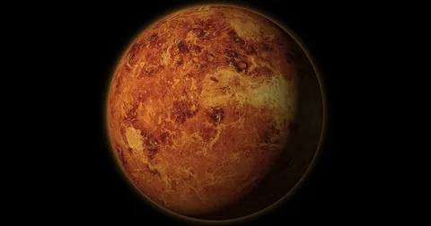
See through the clouds with Magellan radar and visit every Venera landing site.
-
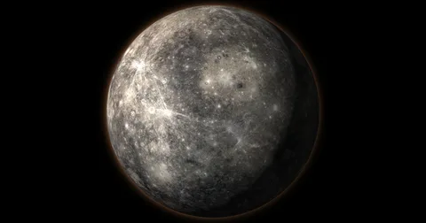
Explore MESSENGER's map of the smallest planet and count down to BepiColombo.

What each model shows
- The Moon: colour and laser elevation from NASA’s Lunar Reconnaissance Orbiter, about 1,500 named craters and seas, every landing from Luna 2 to 2025 with the Apollo, Lunokhod and Yutu tracks, and an observing guide that lists what to see through binoculars or a telescope on any night.
- Earth: NASA Blue Marble colour over NOAA relief, with the day and night line at the current time, city lights on the night side, clouds, country borders, 421 cities and 57 landmarks. Turn the oceans off to see the sea floor in 3D, or tap any point for its sunrise and sunset.
- Jupiter: a Hubble map of the clouds from December 2025 with every named belt, zone and storm, and the four Galilean moons at their real positions on any date, with their shadows on the clouds and Jupiter’s shadow on them. Fly to Io, Europa, Ganymede or Callisto to see their surfaces from Galileo and Voyager.
- Saturn: the rings built from Cassini optical-depth measurements, with all 35 named rings, divisions, gaps and ringlets, real shadows on the rings and the clouds, and a chart of how tilted the rings look from Earth from 2015 to 2040.
- Uranus: all 13 rings drawn at their real radii, the five major moons at their real positions on any date with Voyager 2 maps, and the planet’s 98-degree tilt with the Sun’s position and the next solstice and equinox for any year.
- Neptune: the five rings and the bright Adams ring arcs, and Triton, Proteus and Nereid at their real positions on any date, with Triton’s backwards orbit, Nereid’s stretched orbit and Neptune’s 165-year seasons.
- Asteroids: Bennu, Apophis and Vesta built from their real shape models (OSIRIS-REx laser altimetry, Arecibo and Goldstone radar, and Dawn stereo imaging), with the OSIRIS-REx sample site, the Rheasilvia basin and a true-scale Empire State Building for comparison.
- Comets: Halley, 67P and Tempel 1 built from their real shape models (Giotto and Vega, Rosetta, and Deep Impact), with the Philae landing sites and the Deep Impact crater. Zoom out to see the coma, the ion tail and the dust tail.
- Mars: elevation from NASA’s Mars Global Surveyor laser altimeter, colour from the Viking orbiters and 1,279 named features. The mission layers show every landing site and the routes driven by five rovers.
- Venus: the surface as NASA’s Magellan radar mapped it through the clouds, 1,419 named features and every Venera, Vega and Pioneer Venus landing site. A cloud layer and a descent panel show the atmosphere from the ground to 100 km.
- Mercury: NASA’s MESSENGER imagery with an enhanced-colour mode, 560 named features, the MESSENGER flyby points and impact site, and a countdown to BepiColombo’s arrival in orbit.
How to use the models
- Move: drag to rotate. Scroll or pinch to zoom.
- Globe or flat map: the mode switch flips between the 3D globe and a flat map of the whole world.
- Layers: turn regions, named features, missions, orbits, the latitude and longitude grid and day and night on or off.
- Search: type the name of a crater, mountain or mission to fly to it.
- Measure: pick two points to get the distance between them and an elevation profile.
- Share: copy a link that opens the model at the current view.
Frequently asked questions
Are the maps accurate?
The terrain, colour and place names come from NASA and NOAA data, the IAU Gazetteer of Planetary Nomenclature and, for Earth, Natural Earth. Relief is exaggerated by default so mountains and craters are visible from orbit. You can set the exaggeration back to 1× in each model.
Do they work on a phone?
Yes. Phones load a lighter version of the elevation data, and every control works with touch.
Can I use them in class?
Yes. They are free and need no account. The share link opens the model on the exact feature you chose, which makes it easy to put a crater or landing site on a projector. The space printables work well alongside them.