
Viking orbiter images in the 1970s first revealed vast dendritic valley networks etched across Mars, a sight that immediately suggested the planet had once been much wetter. That visual moment—grainy, black-and-white, and oddly familiar—set off decades of work to understand when and how liquid water shaped the Martian surface. The question of why Mars had water matters because it speaks to past habitability, steers where we search for signs of ancient life, and shapes where astronauts might one day access local resources.
Multiple lines of geological, mineralogical, surface-feature, and atmospheric/remote-sensing evidence converge to show Mars once hosted abundant liquid water—enough to carve rivers, build deltas, and form lakes and possibly oceans. I’ll present ten distinct lines of evidence organized into those four themed categories to make that case, with examples from Viking, Mars Global Surveyor, MRO, Opportunity, Curiosity, Perseverance, Phoenix, MAVEN, and radar sounders.
Geological Signatures of Ancient Water
The most direct evidence for past water on Mars comes from landforms and rock records that look like those created by rivers, lakes, and sedimentary processes on Earth. Most of these features date to the Noachian and Hesperian eras (Noachian, ~4.1–3.7 billion years ago) and were mapped by Viking and later high-resolution cameras on Mars Global Surveyor and MRO. Below are three key geological signatures that point toward sustained or episodic liquid water.
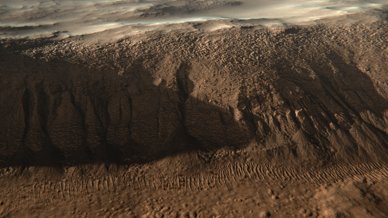
1. Ancient River Valleys and Outflow Channels
Large valley networks and outflow channels are classic indicators of flowing water. Viking and Mars Global Surveyor mapping revealed dendritic valley patterns across Noachian terrain that resemble terrestrial river systems, implying surface runoff fed by precipitation or groundwater discharge.
Some valley networks span thousands of kilometers, while catastrophic outflow channels such as Ares Vallis and others in Chryse Planitia cut troughs hundreds of kilometers wide, consistent with sudden, massive floods. Examples like Nirgal Vallis and Margaritifer Terra show branching tributaries and channel meanders that require sustained or repeated flows to carve.
These fluvial landscapes date mainly to the Noachian (~4.1–3.7 Ga) and are used to target ancient habitable zones for rover missions because flowing water concentrates nutrients and organics in depositional areas.
2. Delta Deposits and Sedimentary Fans
Deltas and alluvial fans form where streams drop their sediment load upon entering a standing body of water, so finding them on Mars is powerful evidence for lakes—or even seas. Orbital imagery and topography reveal several robust delta systems.
Jezero Crater’s delta, the Perseverance landing site (2021), spans several kilometers and displays layered channel deposits and coarse-to-fine bedding consistent with long-lived inflow into a crater lake. The Eberswalde delta, mapped by MRO, similarly shows distributary channels and lobes that imply repeated sediment-laden flow.
Deltas are prime astrobiology targets because they concentrate and bury organics and biosignatures—on Earth deltas are excellent fossil traps—so their presence on Mars points to both persistent water and places likely to preserve evidence of past life.
3. Layered Sedimentary Rocks and Strata
Layered rocks act as a geological archive. Rovers have shown that many Martian layers were deposited in low-energy, aqueous settings rather than by volcanic ash alone.
Curiosity’s work in Gale Crater revealed fine-grained mudstones in the Murray formation and Pahrump Hills that look like lake sediments; CheMin and SAM analyses of drill samples detected clay-bearing minerals and organics in these strata. The observed bedding varies in thickness over tens to hundreds of meters, allowing reconstruction of changing environmental conditions across the Hesperian and later.
Stratigraphy thus helps piece together a timeline of wetter intervals and drying episodes, revealing that water persisted in different places for timescales long enough to deposit layered sedimentary records.
Mineralogical and Chemical Evidence
Certain minerals form only in the presence of liquid water or record water-driven chemical alteration. Orbital spectrometers (Mars Express OMEGA, MRO CRISM) and rover instruments have mapped clays, sulfates, and hydrated minerals across Mars, building a chemical case for widespread aqueous alteration—one of the clearest reasons mars had water.
4. Clay Minerals (Phyllosilicates) Indicative of Neutral Water
Phyllosilicates (clays) form when silicate rocks interact with liquid water over extended periods, typically under near-neutral pH conditions that are more hospitable to life. Orbital mapping by OMEGA and CRISM has identified phyllosilicates across dozens of Noachian terrains.
Regions such as Mawrth Vallis and Nili Fossae display layered clay-rich outcrops that span kilometers. Because clays can trap and preserve organic molecules on Earth, these clay-bearing terrains are compelling targets for biosignature searches.
5. Sulfates and Evaporites Pointing to Standing Water
Sulfate minerals and evaporite layers form as water evaporates, concentrating dissolved ions; they are characteristic of playas and drying lakes. Opportunity’s 2004 landing at Meridiani Planum famously uncovered sulfate-rich sandstones and cross-bedded outcrops that told of past acidic, evaporative environments.
Orbital detections of sulfate-bearing deposits in Valles Marineris and other basins support a history of standing water that repeatedly dried, leaving chemical fingerprints in the rock record. Evaporites also preserve salts and trace chemistries that help reconstruct paleoenvironmental conditions.
6. Hydrated Minerals Detected from Orbit and Rovers
Both orbital spectrometers and in-situ rover instruments have found minerals that contain structural water or hydroxyl groups. Instruments such as CRISM, OMEGA, Curiosity’s CheMin and SAM, and Phoenix’s in-situ analyses have all contributed to this picture.
Phoenix’s 2008 mission directly exposed shallow subsurface ice and observed water vapor from heated regolith, while MARSIS and SHARAD radar sounders have since detected thick subsurface ice in many regions. Curiosity’s mineralogy work showed hydrated phases in mudstones, reinforcing that liquid water altered rocks at the surface or in the shallow subsurface.
Surface Features Formed by Liquid Water
Several surface morphologies are most readily explained by interactions with liquid water at or near the surface: possible shorelines, gullies carved by melting, and glacial/periglacial features. While interpretations can be debated, when these landforms are paired with mineralogical and stratigraphic evidence they strengthen the case for past water activity.
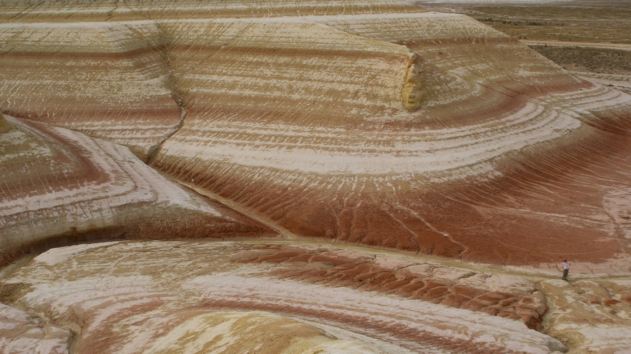
7. Ancient Shoreline-Like Terraces and Basin Features
Researchers identified raised benches and terrace-like features along the northern lowlands that resemble coastlines. Parker et al. (1993) proposed these as ancient shorelines, and some models estimate a Late Noachian/Hesperian northern ocean might have covered roughly 20% of Mars’ surface in those scenarios.
Not everyone agrees—some terraces could be tectonic or volcanic in origin—but when coastal interpretations are combined with deltas, valley networks, and sedimentary basins the shoreline hypothesis becomes more plausible. Proposed ocean volumes in some studies are comparable to Earth’s Arctic Ocean, though estimates vary widely depending on assumed basin topography.
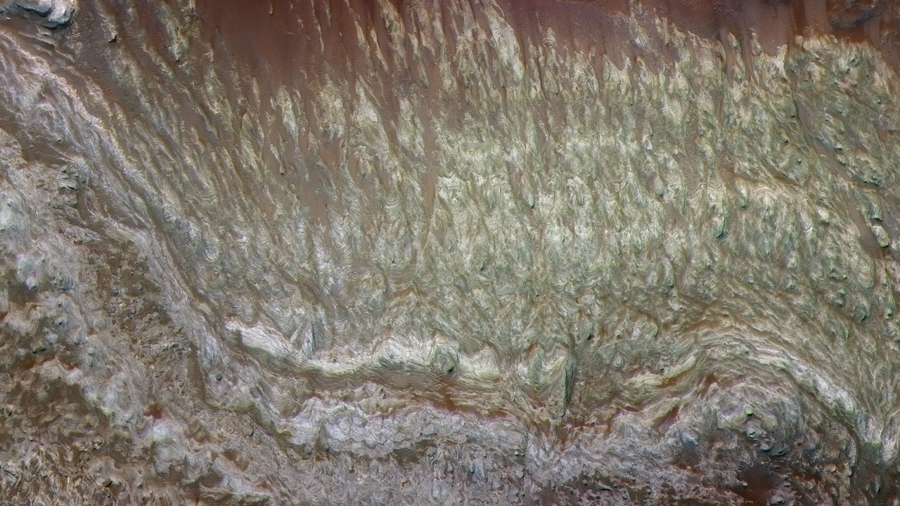
8. Ancient Glacial and Periglacial Landforms
Glacial features—lobate debris aprons, lineated valley fill, and eskers—indicate past ice flow and, in places, ice melting. High-resolution imaging by MRO shows landforms consistent with former glaciation in mid-latitudes as well as the polar layered deposits.
Radar sounders SHARAD and MARSIS detect buried ice hundreds of meters thick beneath debris aprons and in polar deposits, demonstrating that substantial ice reservoirs exist today. Glaciers can store large water volumes and episodic melting during warmer periods would have supplied liquid water for fluvial erosion and sediment transport.
Atmospheric and Remote-Sensing Evidence
The story of how Mars lost much of its water, and what still remains, is told by atmospheric measurements and radar and neutron spectroscopy from orbit. Missions such as MAVEN, Mars Odyssey, MARSIS, SHARAD, and on-the-ground assets like Phoenix have quantified atmospheric escape and mapped hydrogen and ice across the planet.
9. Isotopic Signatures Showing Water Loss (D/H Ratios)
Isotopic ratios, especially the deuterium-to-hydrogen (D/H) ratio, act like fingerprints of water loss. Mars’s atmosphere today shows D/H enrichment roughly 5–7 times Earth’s Standard Mean Ocean Water (SMOW), a clear sign that lighter hydrogen escaped preferentially to space over time.
MAVEN and earlier measurements provide the data that let scientists estimate how much water Mars has lost; those D/H values imply Mars once had a far larger surface water inventory—enough to form oceans, lakes, and long-lived rivers in many models. These isotopic constraints are a key tool for quantifying why Mars had water and how much of it disappeared.
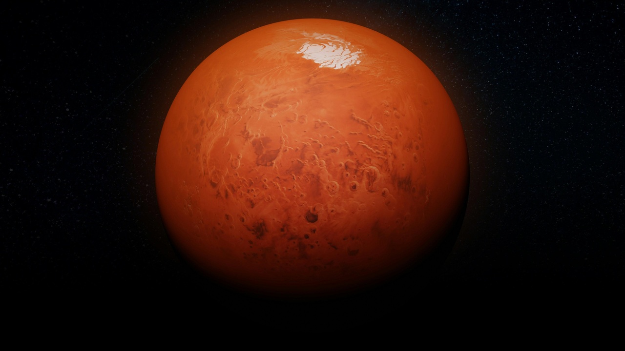
10. Polar Ice Caps and Subsurface Ice Reserves
Significant water remains today as ice in the polar layered deposits and as subsurface ice at mid-to-high latitudes. The Phoenix lander (2008) exposed clean ice just ~5–10 cm below the regolith and observed sublimation when heated. Mars Odyssey’s neutron spectrometer mapped near-surface hydrogen widely across mid-latitudes.
In 2018, MARSIS detected a radar-bright reflector beneath the south polar layered deposits interpreted by some teams as a subsurface briny lake tens of kilometers across, though that interpretation remains under study. Radar sounders (MARSIS, SHARAD) have also found thick buried ice deposits in many regions, showing modern reservoirs still hold large amounts of water—mostly frozen but potentially accessible.
Summary
- Multiple, independent lines of evidence—from valley networks and deltas to clays, sulfates, isotopes, and radar detections—converge to show Mars once hosted abundant liquid water.
- Water existed in diverse settings: rivers and catastrophic floods, persistent lakes and deltas (e.g., Jezero, Eberswalde), possible northern seas, glaciers, and widespread subsurface ice.
- Isotopic data (D/H ≈ 5–7× SMOW) and MAVEN’s atmospheric escape measurements quantify large water loss, while MARSIS/SHARAD and Phoenix reveal substantial modern ice reservoirs.
- These findings guide astrobiology and exploration: Perseverance at Jezero and Curiosity in Gale Crater target ancient lake and delta deposits, and orbital radar and neutron maps help plan where to search for preserved organics and potential resources for future missions.
Enjoyed this article?
Get daily 10-minute PDFs about astronomy to read before bed!
Sign up for our upcoming micro-learning service where you will learn something new about space and beyond every day while winding down.


